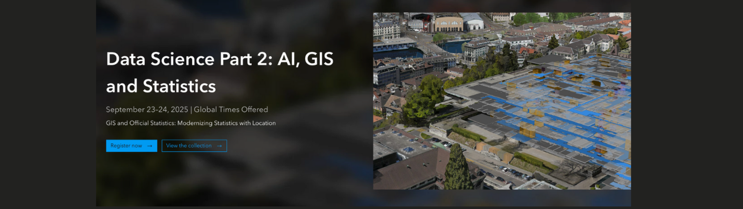
Data Science Part 2: AI, GIS, and Statistics Webinar
Join Esri and the Food and Agriculture Organization (FAO) of the United Nations for an exciting webinar on geospatial AI and generative AI in agricultural census! Discover how these tools are reshaping crop mapping, survey workflows, & improving access to statistical insights.
Meet the Presenters:
Linda Peters | Official Statistics Industry Manager, Esri
Kate Hess | Business Development Manager, Official Statistics, Esri
Lydia Troup | Solution Engineer, Official Statistics, Esri
Special guest: Sarah Wertz | Data Engineer, FAO of the United Nations
What You Will Learn:
💡 How to extract features from satellite and drone imagery using geospatial AI
💡 Techniques to delineate cultivated areas with machine learning and deep learning
💡 Using ArcGIS Survey123 with generative AI for crop census workflows
💡 Ways to improve access to statistical insights for decision-making
This webinar is open to all, where you can benefit from learning from industry peers on how to elevate your statistical work and insights. Register Now through the ESRI website.
This message is shared as part of a promotional collaboration with our partner ESRI.